
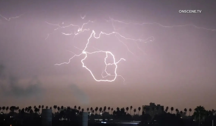
A Southern California winter storm front is sweeping across the region, bringing heavy rain, dangerous coastal high surf, and mountain snow from Thursday night through the middle of next week.
According to the National Weather Service (NWS), this weather disturbance will not end with a single system. Instead, a ‘Storm Train’ pattern is expected to pass through Southern California in three consecutive waves through next Wednesday.
Rainfall and Weather Timeline
Following a first round of scattered showers and thunderstorms from Thursday night into Friday morning, a more widespread and powerful second rain band is moving in from Friday night through Saturday morning.
Most areas across Los Angeles and Orange County are expected to receive 0.25 to 1 inch of rain over the weekend, with higher amounts possible along mountain slopes and localized thunderstorm zones.
After a brief dry period and lull in activity on Sunday, two additional cold fronts will move in from Sunday night through Wednesday, bringing renewed rainfall and a sharp drop in temperatures.
Coastal High Waves and Mountain Snow Warnings
Alongside the precipitation, coastal safety hazards have significantly increased. The National Weather Service has issued a High Surf Advisory for the entire Southern California coast starting Friday afternoon through next Tuesday.
Hazardous waves reaching 7 to 12 feet—with some areas peaking up to 14 feet—are expected to batter the coast on Saturday, raising risks of coastal lowland flooding and dangerous rip currents.
Additionally, localized street flooding, mudslides, and slippery driving conditions are forecasted across Santa Barbara, Ventura, and Los Angeles counties, while falling temperatures will bring snow to higher mountain elevations over the weekend and early next week.